For those of you who haven't been there, Salisbury Plain is about 90 minutes drive SW of London. The land is chalk with a thin veneer of turf so the landscape is gently rolling. Sheep are farmed there in abundance but there are also cheeky horses mooching for handouts. Generally the highest point on the horizon are the barrows, ancient burial places of the great and the good.
We all met up at the Hammersmith roundabout at 8:30 in the morning and quickly made our way to the buses.

By 10:15 we were parked up in Amesbury and ready for equipment check.

And we were off.


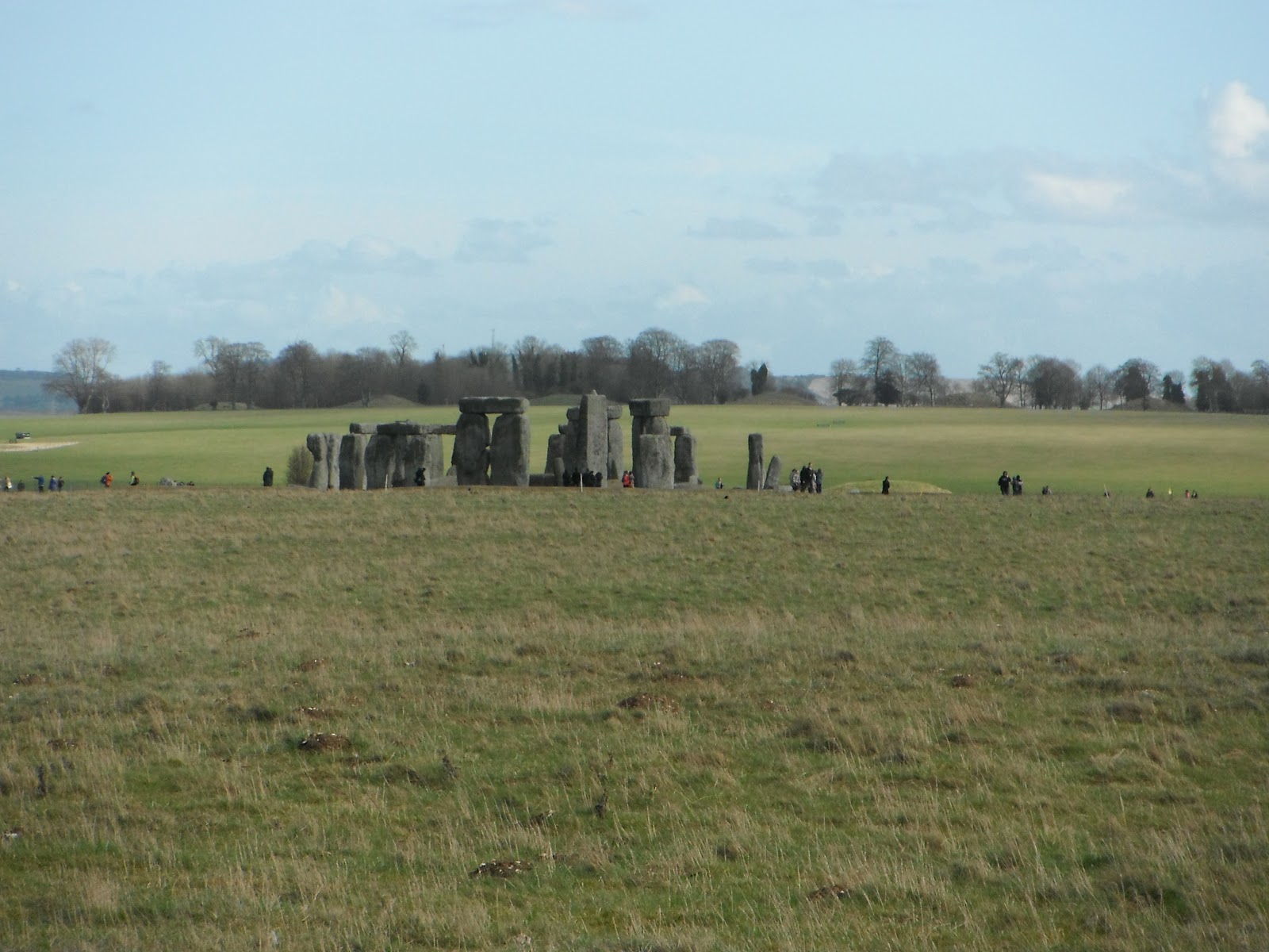
We had a one hour stop at Stonehenge for lunch and those who wanted to could go in and take the tour. I had already been and done so I just sat out in the sunshine and had lunch the half of the group that also skipped the tour.
BTW, tip for the lazy: I hadn't felt like making sandwiches to bring so I ordered a quarter crispy duck the night before and just packed that in some tupperware with cucumber, spring onions, pancakes and plum sauce. It made a very nice alternative to my usual.
We then walked down The Avenue (a trail that follows the way that Stonehenge was approached for processions and also thought to be the route along which the stones were transported). Our guide Kieron also pointed out that the blue stones are thought to have been brought all the way from Wales.
So we proceeded down the Avenue and then cut over to the barrows of the Elder King and the Younger King (I think. I may have caught that bit wrong).


More photos from other hikers are available at http://www.meetup.com/AAA-London-Group/events/53224192/
Next week: A stroll up the Avon


